


GIS NEEDS ASSESSMENT
Williston, North DakotaAbout the Project
The City of Williston has been experiencing rapid growth, creating increased pressure to manage and maintain its ever-changing infrastructure.To help with this the City decided to implement a Computer Maintenance and Management System (CMMS) through Lucity. GIS is vital to the use of CMMS for horizontal assets.
Project Details
Date: 2016 – 2018
Client: City of Williston
Key Project Elements
- Primary Control
- Utility GIS
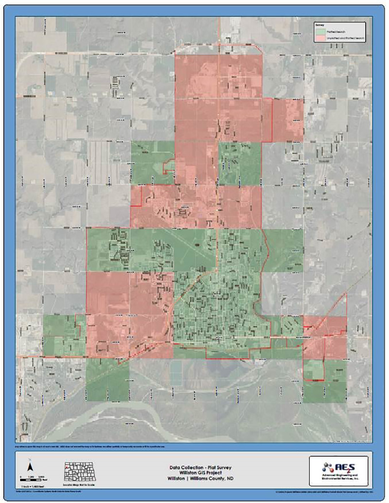
- Plat and Parcel Mapping
- Survey Grade Data Collection
- Coordinate System Conversion
- Mobile/Web GIS
GIS Transition and Future Planning
To transition the GIS to meet the new requirements for CMMS, AE2S provided assistances through formulating a future plan through a needs assessment, established primary control with a State Plane Coordinate System, collected surface utility and plat map features in the fields with survey grade GPS units, repositioned utility pipes and plat boundaries based on GPS collected, and updated attribute information.Having all the GIS data on a State Plane Coordinate System allows compatibility for future GPS data collected in the State Plane Coordinate System, which will minimize errors for the outer parts of town. The data collected and updated will be useful for GIS and CMMS for years to come.
Tagged Municipalities and Utilities