


CITY-WIDE 2D STORM SEWER SYSTEM MODEL, RESILIENCY STUDY, AND LAKE LEVEL ANALYSIS
Burnsville, MinnesotaAbout the Project
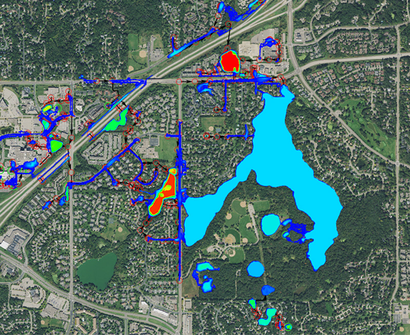
The City of Burnsville had an XP-SWMM 1D model that was not providing the information they needed to make informed decisions for prioritizing and designing flood risk reduction projects.To move the City forward, AE2S developed a City-wide 2D rainfall-runoff-routing model covering over 22.5 square miles to transform the City’s 1D model into a tool that they can use for years moving forward.
Project Details
Date: 2019 – 2020
Client: City of Burnsville
Key Project Elements
- Building Effective Modeling Tools for Flood Resiliency
- Streamlining Client Feedback on Modeling Results
- Clear Process for Prioritizing Stormwater Improvements
- Translating Planning Recommendations to Constructable Projects
Streamlining Client Feedback on Modeling Results
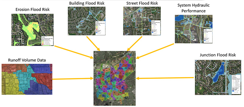
Given that the City drained in six distinct watersheds, the model was split up accordingly; however, all results were merged to provide a comprehensive flood risk assessment for the City.Because confidence in the 2D model was critical to moving forward with a plan for improvements, AE2S developed an online platform where City staff could provide feedback on the flood inundation output from the 2D modeling, which streamlined the process for confirming model results and adjusting the model to better reflect past observations.
Clear Process for Prioritizing Stormwater Improvements
Asset management is often used for water, sanitary, and street assets given that condition assessments (likelihood of failure) are more widely available and defining consequence of failure is more straightforward.AE2S developed a unique approach to balancing flood risk for major transportation corridors, residential neighborhoods, high-value commercial districts, and critical emergency response facilities to develop a clear process for prioritizing stormwater improvements that build the City’s flood resiliency the fastest way possible.
Translating Planning Recommendations to Constructable Projects
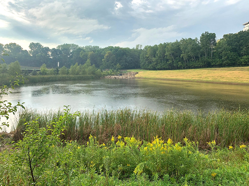
With this approach, the City recognized that a proposed development was in one of the higher risk areas, so the study immediately transitioned to preliminary and final design for a flood risk reduction project that involved modifying lake outlet structures, storm piping, and a regional detention pond to reduce flood levels in a series of lakes without increasing peak flows downstream.Construction for the project is ongoing and is expected to finish in Fall 2021 with FEMA approvals occurring in 2022. Preliminary design for another flood resiliency improvement project has also begun based on the clear process for prioritizing stormwater improvements.