The U.S. Environmental Protection Agency (USEPA) released a new tool, CyANWeb, that can help Federal, State, Tribal, and municipalities identify when a harmful algal bloom (HAB) may be forming where people swim, fish, and boat. The tool uses satellite data to alert users based on specific changes in the color of the water in over 2,000 of the largest lakes and reservoirs across the United States.
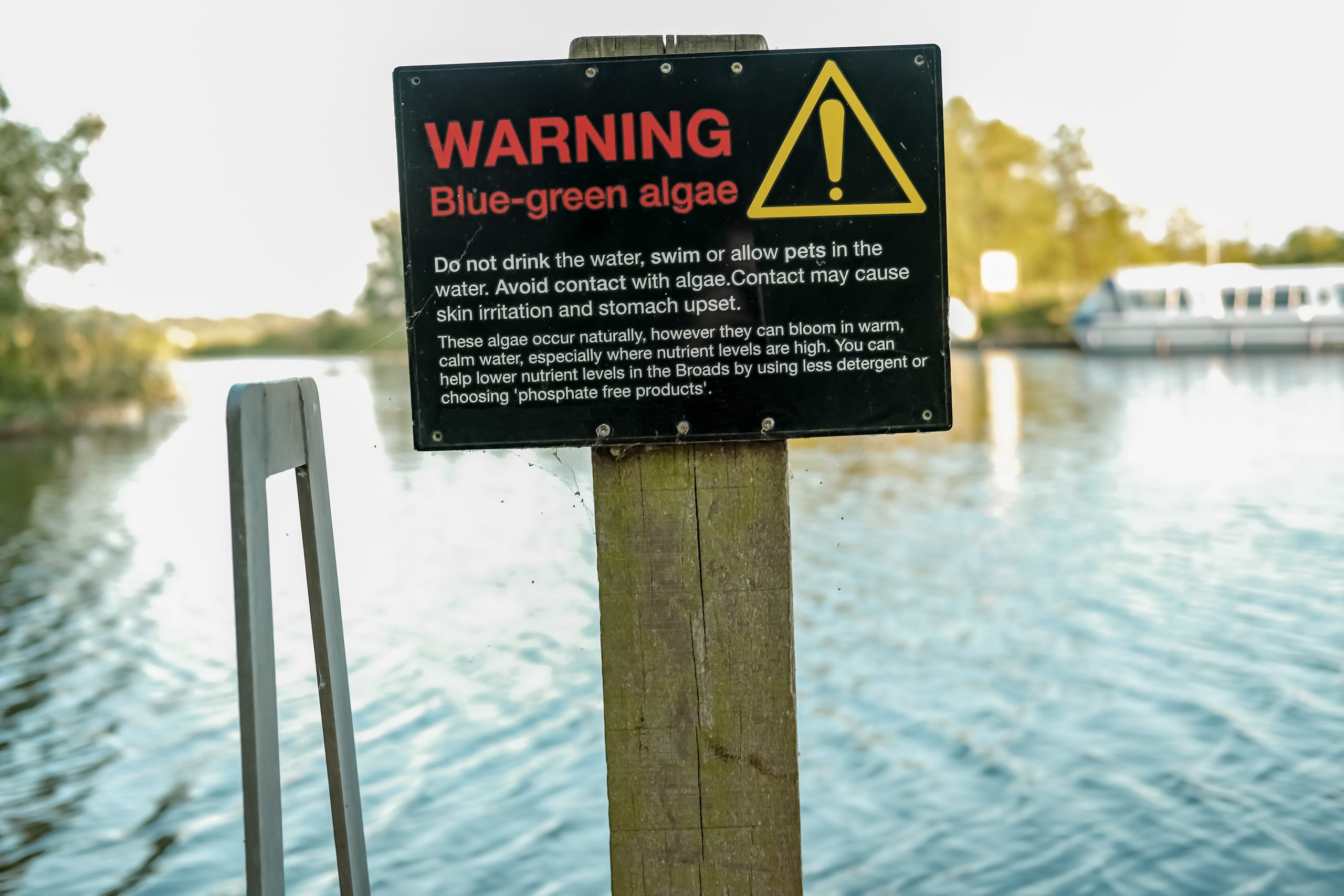
Cyanobacteria, also called blue-green algae, occur naturally in many water bodies. However, when they multiply, they can form potentially toxic HABs, which can increase drinking water treatment costs for communities and impact lakes and other recreational areas. CyANWeb, developed by the Cyanobacteria Assessment Network (CyAN) with input from users across the country, makes cyanobacteria satellite data more accessible to water quality managers, communities, and anyone interested in knowing more about water quality in their area.
CyANWeb uses historical and current satellite data to develop daily and weekly images that serve as an early warning system for HABs to aid in efforts to monitor and assess water quality. They can also help lake managers and people who swim, fish, or boat in lakes identify when a HAB may be forming. CyANWeb is easy to use and has features that let users view comparisons of multiple water bodies over time, as well as mark locations for future reference.
Users can access CyANWeb with the help of a desktop computer, tablet, smart phone, and most other internet-browsing devices.
For more information on the USEPA’s CyANWeb or to access the app, click here.