The U.S. Environmental Protection Agency (USEPA) has unveiled a new tool that assembles publicly available water quality data into a user-friendly package that provides information on the quality of our nation’s waters at the community, State, and national level.
The “How’s My Waterway” tool allows the public to learn about water, explore data, and find out what’s happening to improve the health of the Nation’s waters. Map-centric and mobile-friendly, How’s My Waterway provides users with an easily accessible and understandable summary of water quality at the community, State, and national level.
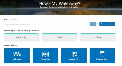
Here’s what each level has to offer:
- Community: Learn about the health of local waters, identify challenges and learn about what’s being done to restore or protect the waters. Find out more about local drinking water. Discover if waters in the community are suitable for swimming or eating fish and if they support healthy aquatic life.
- State: Choose a State to find basic facts about a State’s waters, summaries of specific water assessments, a statewide survey of water quality, and State drinking water metrics.
- National: Learn about the quality of water resources (lakes, rivers and streams, wetlands and coastal areas) across the nation and the main challenges to our water resources nationwide. National drinking water quality and national drinking water metrics are also included.
Access the How’s My Waterway application at: https://mywaterway.epa.gov.