Tag GIS
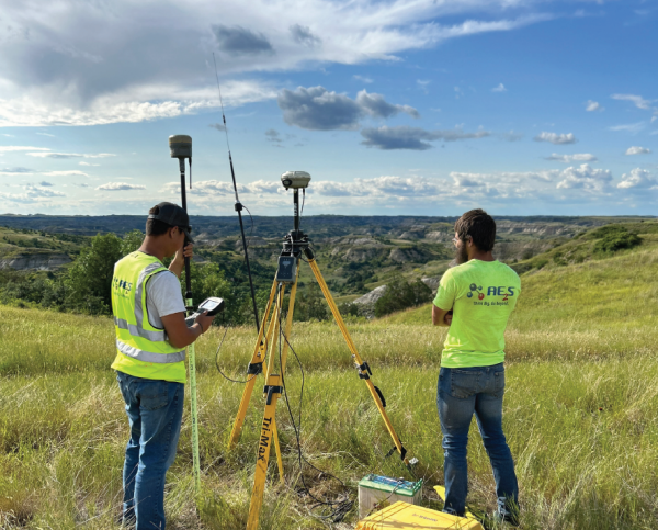
A customized geographic information system (GIS) tool received an Engineering Excellence Award from the American Council of Engineering Companies (ACEC) of North Dakota in the Surveying and Mapping Technology category. The GIS solution was developed by AE2S for the McKenzie… Continue Reading →
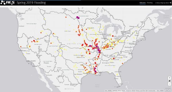
There are many ways to explain a project. The most common options include presentations, white papers, and articles. However, story maps are quickly becoming a popular option because they combine geographic information system (GIS) and map data with descriptive text,… Continue Reading →